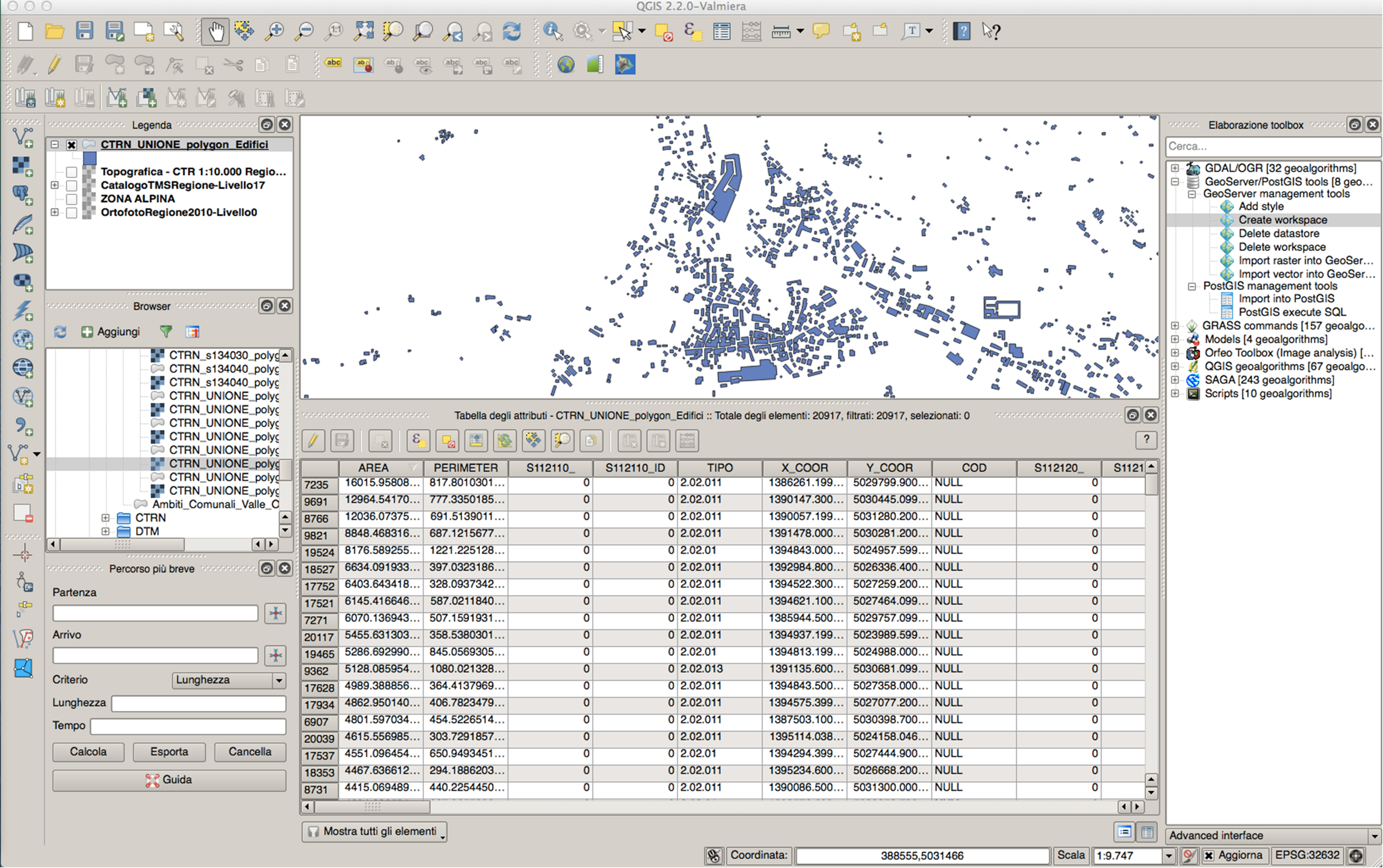
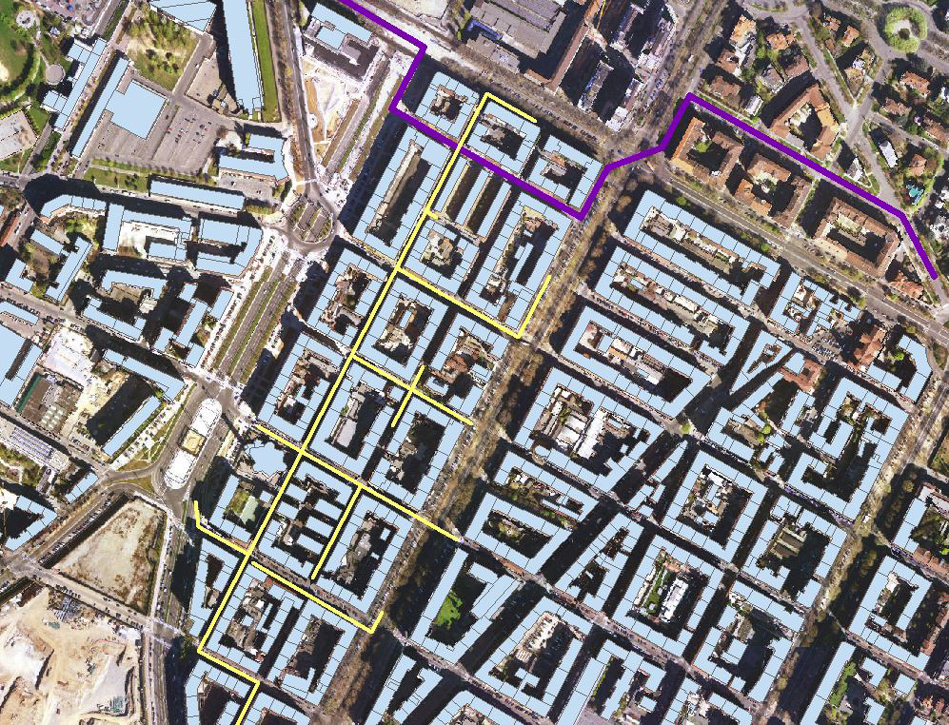
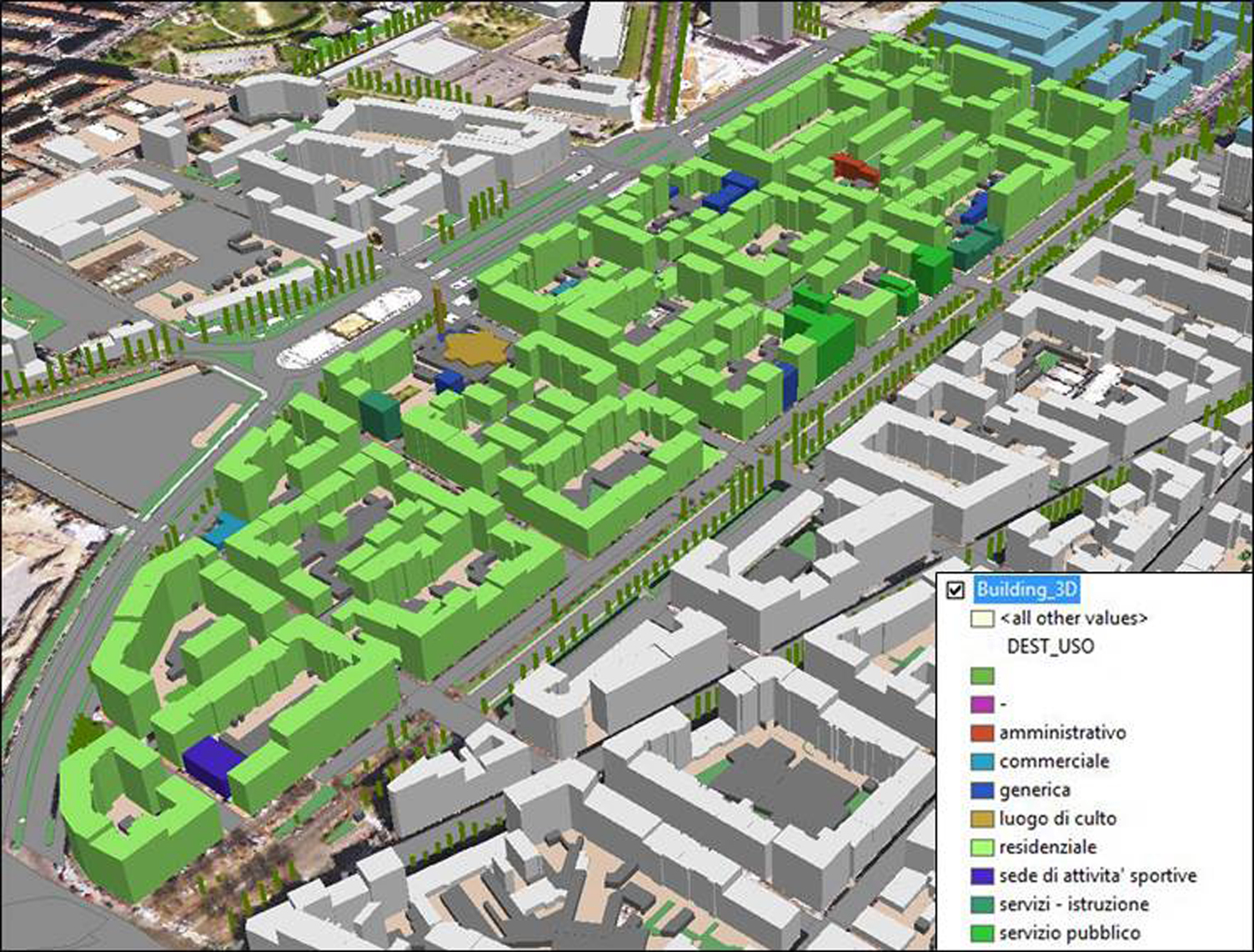
GIS
GIS (Geographic Information System) is a tool useful to collect and manage geographical data that, thanks to a multidisciplinary approach, is used to develop design solutions able to transform problems into solutions. The topic of the “Energy Park” fits this context because it involves an integrated approach based on the knowledge of the territory, taking into account both local people’s needs and land resources.